Solutions: Use Cases and Industries
Welcome to Geoapify’s Solutions page, where we showcase the diverse applications of our geospatial technology across various industries. Our solutions are designed to help businesses unlock new opportunities, streamline operations, and enhance decision-making processes.
Use cases
Discover how Geoapify’s geospatial solutions can be applied to various scenarios to solve real-world challenges. Our versatile technology and expertise empower businesses across different industries to leverage location data effectively. Whether you need custom maps, advanced geodata analytics, or tailored geospatial services, we provide the tools and support to drive innovation and efficiency.

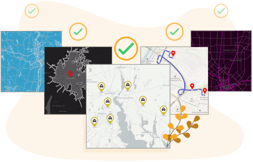
Address Lookup API & Address Validation/Verification API
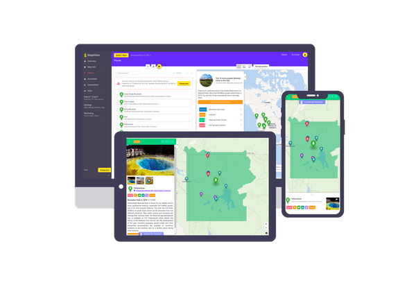
Map with pins | Mapifator | Geoapify
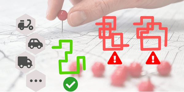
Route Optimization Solutions
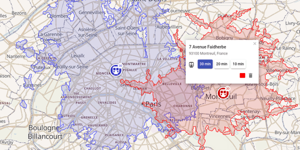
Travel Time Map & Driving Time Map - Geoapify

EV Routing - Route Planner For Electric Cars

Geotargeting In Marketing

Multi-Stop Route Planning & Optimization For Logistics and Delivery
Industries
Geoapify’s geospatial solutions are designed to meet the diverse needs of various industries. Our advanced technology and expert support help businesses leverage location data to drive success, enhance efficiency, and make informed decisions.
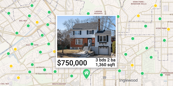
Interactive Real Estate Maps for Property Listings

Mapping Solutions For Smart Cities and Urban Planning

Logistics APIs | Delivery & Tracking Solutions
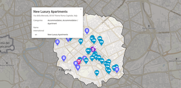
Geospatial Solutions for Travel & Tourism industry

GIS in Healthcare - Public Health Location Intelligence and Mapping Solutions

Maps and GIS for Education
Switching to Geoapify
Transitioning to Geoapify is a seamless and rewarding experience. Our team of experts is dedicated to ensuring a smooth integration of our geospatial solutions into your existing systems and workflows. Whether you’re moving from another provider or starting fresh, we provide comprehensive support to make the switch effortless.
Why Switch to Geoapify?
-
Easy Integration: Our solutions are designed to integrate smoothly with your current infrastructure.
-
Comprehensive Support: From initial setup to ongoing maintenance, our team is here to assist you every step of the way.
-
Affordable Prices: Our pricing is designed to be accessible for businesses of all sizes.
-
Permissive Licensing: Based on open data, our solutions come with a permissive license, giving you flexibility and freedom.
-
Scalability: Our solutions grow with your business, ensuring you always have the tools you need.
