Maps and GIS for Education
Geospatial skills are also essential to teach children in the 21st century. Together with knowing the countries and capitals of the world, we want our kids to know why geography is relevant to their lives.
For example, they could use geo-data analytics and learn about software development – all things which will open the door to creating location-aware apps that help to answer one of the most important questions - "Where?"

Maps to learn Geography
Learning geography with the aid of protractors and dividers, children historically learned about rivers and mountains, seasons, and soil – map skills, with an additional benefit of finding their connection to the planet. Making the connection between a mountain range and the information found on an internet-connected device needs an understanding of map development, knowledge of how to develop a gis map, and the skills to locate tools online which deliver data without losing the interaction between the Earth and the child.
Learn world parts, countries, cities
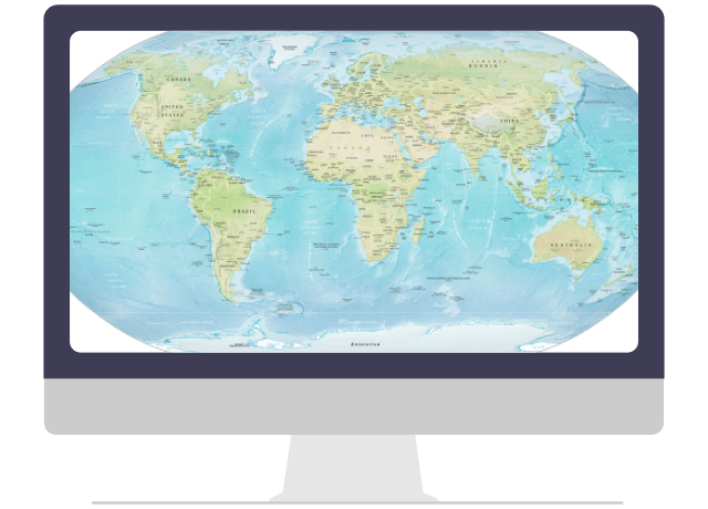
Interactive maps make learning about the planet, different countries – and their capitals with exciting and engaging activities to expand their knowledge base on a range of subjects in a tangible way. A child's imagination can run wild as they interact in a virtual world – a safe learning ground for real-world experiences while absorbing knowledge rather than committing facts to memory.
With Geoapify Maps, interactive apps can be created with maps at the core, teaching geography as the tech-savvy child absorb lessons effortlessly and enjoys the process.
Learn to work with addresses and locations
While letters are seldom sent to postal addresses as email has become the norm, they remain a central part of daily life. An address comprises different components, and map skills help understand what each component means, whether it be a country, city, or region. Even numeric skills play a role in identifying specific houses in a particular street.
Geoapify Geocoding makes it simple to access the components of addresses and easy to apply in everyday use. Not just learning, a child can also understand their world by identifying their own homes, schools, and shops while gaining a perspective of the world around them.
Learn data visualization and analytics
As children rise into higher levels of education, data visualization catches their attention, bringing data to life in the form of charts and graphs in a meaningful way. It's an interesting and entertaining part of learning.
Learning how to use maps is just the start. Statistical demographics data, heat maps, and clustering can be a good start for data analysis and can be built into apps to help the child better understand the task at hand.

Learn to develop location-aware apps
A high percentage of apps have maps, making the skill to develop location-based apps one of the cornerstones of the Software Development education program. Moreover, there are a few basics every software developer should know before tackling a project to develop a GIS map within an app.
Learn using Maps APIs
Working knowledge of APIs is essential. The Maps APIs are developed to search addresses and locations, build routes, and query points of interest, linking key elements to map development programmatically.
The Geoapify Playground lets developers play with their designs, test and try out APIs by generating a URL string, sending HTTP requests, and then interpreting the results.
Learn working with map libraries
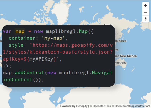
Understanding how to develop maps – specifically interactive maps, is essential knowledge, and there are commercial and open-source Map Libraries that provide a helpful learning database.
In addition, students can access code samples for Leaflet, OpenLayers, and MapLibre GL (Mapbox GL) in the libraries of the Geoapify Tutorials page.

Learn to work with Geospatial Data
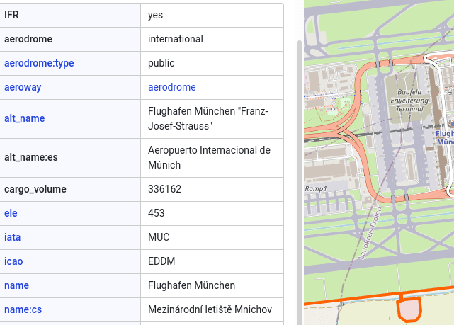
Geospatial data transverses over many other learning processes, often seen as only a research tool. It provides direct knowledge about places and locations and offers insight into many aspects of scoring them. To explore the various types of geospatial data and their applications, check out our article on Different Geospatial Data Types.
Accessing GeoData takes an understanding of its formats and how data can be processed. This makes it an important addition to data analytics education, and with the rich resource libraries, learning the processes is painless.
Conclusion
We at Geoapify strongly believe that children and students should access free Maps, APIs, and GeoData and understand how to work with maps. It opens their windows into the world and provides a doorway to better education and understanding of our planet and their place on it.
And the best news is that both our products and our assistance are free. So contact us – we would be happy to help.
