
Location intelligence solutions in different industries
90% of data stored by companies contains location component and those can be used to bring your business to success
Analyzing data with geospatial components and visualizing it on a map can give you unexpected, often underrated, and valuable answers to your business questions. Location intelligence can help better organize and optimize processes in your company, significantly decrease running costs, create impressive visualization tools for your customers, and help you to overpass competitors.
Geoapify intends to make location intelligence available and affordable for any company. Here you can find some examples of how location intelligence solutions could be used by different industries.
Location Services for Different Industries
Explore how Geoapify's solutions cater to various industries through the following articles:
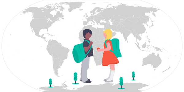
Maps and GIS for Education
Today, maps and GIS have become essential instruments for business and science. Check out how to use maps, GIS, and geodata in Education processes
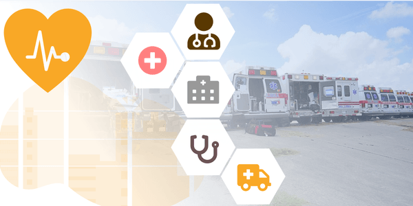
GIS in Healthcare - Public Health Location Intelligence and Mapping Solutions
Geoapify offers location intelligence and GIS solutions for healthcare. Discover how mapping software can be used to enhance public health systems
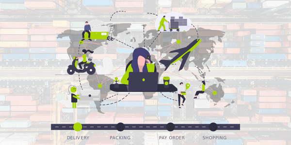
Logistics APIs | Delivery & Tracking Solutions
Optimize transportation processes and warehouse management with our Logistics APIs. We have delivery and tracking solutions for businesses of all sizes.
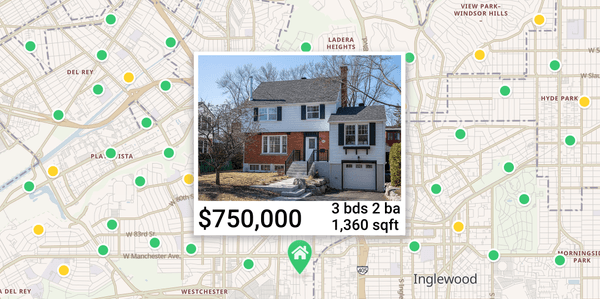
Interactive Real Estate Maps for Property Listings
Create interactive real estate maps with Geoapify to enhance property listings. Engage buyers with detailed locations and insights. Perfect for realtors' maps
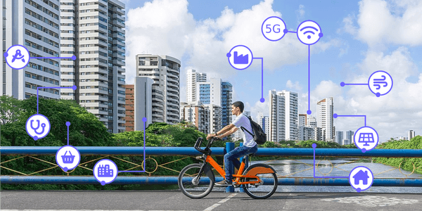
Mapping Solutions For Smart Cities and Urban Planning
Geoapify offers mapping solutions for smart cities, providing GIS software and location intelligence for urban planning, traffic control, energy efficiency, and safety
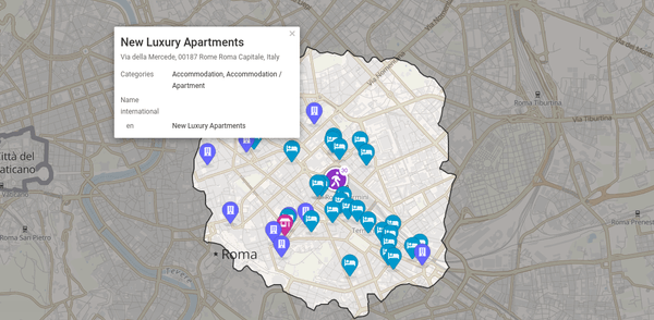
Geospatial Solutions for Travel & Tourism industry
Discover Geoapify's mapping software for travel and tourism. We provide location intelligence and GIS solutions for the hospitality industry to enhance decision-making and customer experience
