Tag: Location intelligence | Page 2
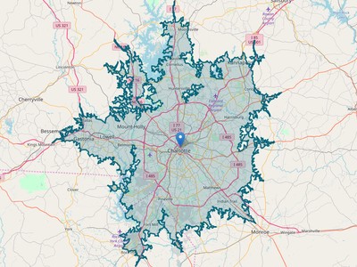
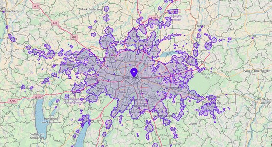
Travel time is one of the most important criteria when you choose a location. That's why a travel time map or isochrone is often...
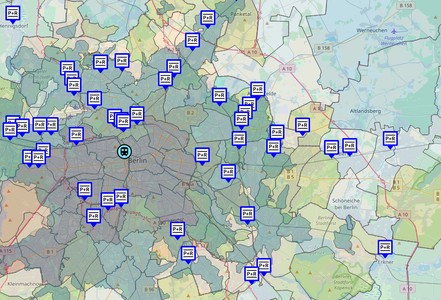
Does it make sense to create a custom map for your website? Sure, a custom map brings a lot of benefits and advantages to your...
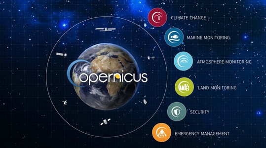
The importance of available open data plays a big role in developing geospatial and location analytics applications. Copernicus is the European...
Technology advances in cycles. Moreover, the periods of evolution interleaved with revolutionary changes. And it seems that we are standing on the...
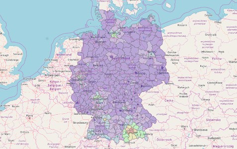
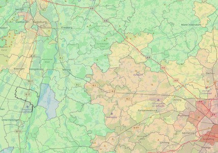
Maps are often used to visualize statistics. Demographical or socioeconomic data give a great overview of a location and allows to make conclusions...
Which areas can I reach from a city center within 30 min by public transport? Where can I drive from my home within 1 hour? Or in...
