


Technology advances in cycles. Moreover, the periods of evolution interleaved with revolutionary changes. And it seems that we are standing on the edge of the next revolutionary transition from experts-oriented GiS to Geospatial Intelligence solutions available for the much wider audience. The solutions which are easy to understand to a non-expert, easy to use, and affordable to small companies and individuals.
Geospatial intelligence brings more and more value to business intelligence products. As a result, the answer to the key question "where" start to play an extremely significant role by making business decisions.
Role of Geospatial Intelligence in our life
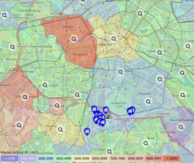
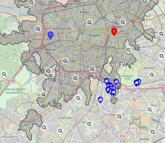
Imagine a holiday planning website where you can filter hotels by reachability. For example, visualize only hotels reachable within 10 minutes of walking from the beach or ski lift. Great, isn't it?
Another case could be a property listing website. The website where you can choose a property with desired amenities nearby and optimize your commute time to the office or university. The website could help you, in addition, to find the best price-value ratio or investment potential based on your needs!
There are a lot of examples of geospatial intelligence appliance for business cases as well. For instance, an event planning service which takes an account of the living places of participants. Or office relocation website which suggests the best locations based on employees commute time and rental prices.
The increasing popularity of Geospatial solutions
Broad adoption of Geospatial intelligence can have an effect comparable to the transition from printed maps to digital maps. However, nowadays we can't imagine our routine without smartphones and car navigation systems which guide us to the destination in an optimal way.
It is hard to believe, but just 15 to 20 years ago printed maps were the most common way to plan a route. Technologies like GPS, digital maps and computer-based routing were existing and moreover well-developed. But they were accessible only to experts, big organizations, and governments.
Geoapify mission to make geospatial intelligence affordable for everyone
At Geoapify, we see our mission in democratizing geospatial intelligence and underlying technologies. We intend to make it accessible, usable, and valuable for everyone who has unanswered "where" questions.
Our APIs provide everything you need to create a spatial solution from zero. Solution builder Mapifator helps to make custom maps with geospatial analytics technologies layers with graphical interface.