Tag: Geo data | Page 4
Learn how to get the timezone for a location by using Lat/Long coordinates or address with API. Check our JavaScript code samples and object examples...
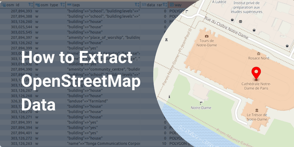
OpenStreetMap is the largest geo-database in the world. Learn how to get the OSM data and use it with SQL queries, Overpass API, and Places API...
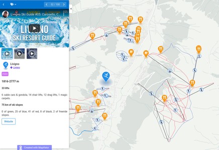
As we love skiing, the ski resort map was a particularly interesting topic for us! We've collected Ski-resorts related geodata...
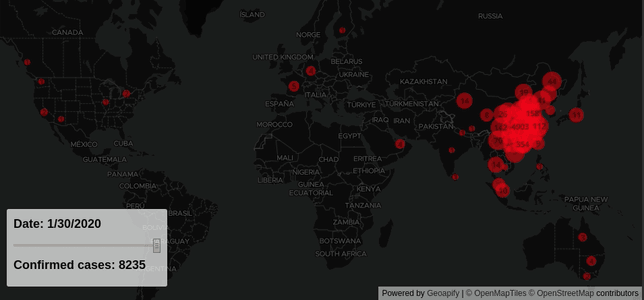
Learn how to visualize series data on a map with Mapbox GL map library. We used Covid-19 statistical data to...
OpenStreetMap, or OSM, is a Wikipedia for the maps. It is a free, open, and global community project. OpenStreetMap mission...
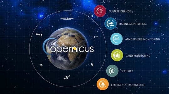
The importance of available open data plays a big role in developing geospatial and location analytics applications. Copernicus is the European...

