Tag: Geocoding

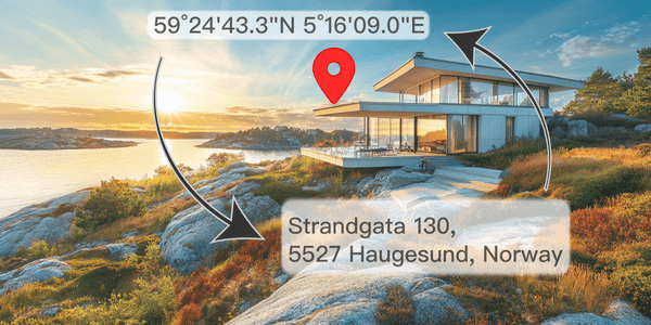
Reverse geocoding converts geographic coordinates into addresses, making it easy to pinpoint exact city locations and add context to raw data

What Is Reverse Geocoding And How It Works

Discover the meaning of reverse geocoding, how it works, its difference from geocoding, and examples of converting GPS coordinates into readable addresses for navigation and data analysis...
Read More
Learn about the format of UK postcodes, how to create boundaries for postcode areas, and where to download reliable postcode data
Geospatial

UK Postcodes: Format, Challenges, and Downloadable Resources

Learn about the format of UK postcodes, how to create boundaries for postcode areas, and where to download reliable postcode data...
Read More
The AI-generated image shows a US-style curbside letterboxes
SolutionsGeospatial

Address Formats by Country: JSON Templates to Download

Discover country-specific address formats. Get a JSON with international address templates to enhance your app's data handling and UI design...
Read More
The AI-created picture shows mailboxes in various colors
SolutionsGeospatial

What are the correct postcode formats around the world?

Explore global postcode formats in our guide. Learn about different zip code layouts for efficient mail delivery, ideal for logistics and other businesses...
Read More
JSFiddle shows OVER_QUERY_LIMIT geocode error
Maps API

Overcoming Geocoding Limits: How to Manage the OVER_QUERY_LIMIT Status

Learn how to handle 'OVER_QUERY_LIMIT' status in the Google Geocoding API. Our tips and strategies will help you troubleshoot geocoding issues...
Read More
Map of current official time zones
Maps API

How to get the Timezone from a Latitude/Longitude Coordinates

Learn how to get the timezone for a location by using Lat/Long coordinates or address with API. Check our JavaScript code samples and object examples...
Read More