Category: Solutions
Automate your property descriptions using Chat GPT and Places API with our detailed guide. Learn the essentials to boost your listings and attract more buyers efficiently...
Discover country-specific address formats. Get a JSON with international address templates to enhance your app's data handling and UI design...
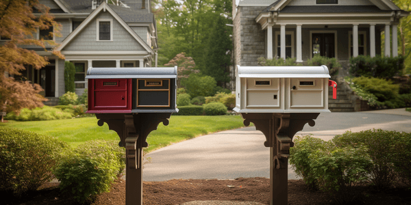
Explore global postcode formats in our guide. Learn about different zip code layouts for efficient mail delivery, ideal for logistics and other businesses...
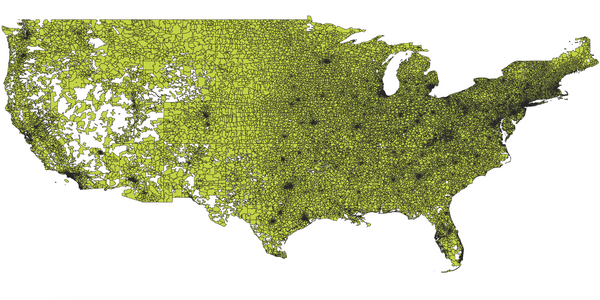
Read our US ZIP code guide. Explore, understand, and freely download. Leveraging Census data and open data principles for comprehensive geolocation insights...
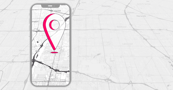
Learn how geolocation technology works, its uses, and the benefits and risks of collecting user location data. Explore its applications and learn the best practices....
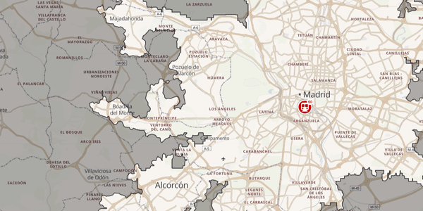
Discover how isochrone maps can help your business. Manage commutes, scout out new locations, and help your customers find what they're looking for...


