Category: Solutions | Page 2
Discover the 5 key benefits of GIS and how it can revolutionize the way you work. Learn how GIS can improve decision-making and increase efficiency...
OpenStreetMap is the largest geo-database in the world. Learn how to get the OSM data and use it with SQL queries, Overpass API, and Places API...
Learn how to build travel time maps (also known as isochrones) for public transportation of nearly any city worldwide...
Geoapify Icons API lets you create beautiful map icons with icons or text. We combined the most popular map marker pin shapes with ...
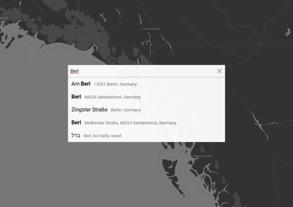
We've created Address Autocomplete npm packages for you. Choose Vanilla JS, Angular, or React components for your website or app....
Create an address field with an autocomplete with Geoapify step-by-step tutorial. Learn how to validate addresses, limit the search to countries, cities, postcodes....
