Tag: Geo data

Python geospatial data analysis guide highlighting 12 libraries and hands-on workflows
Maps API

12 Essential Python Libraries for Geospatial Data Analysis (with Hands-On Examples)

Explore 12 powerful Python libraries for geospatial data analysis, tooling best practices, and Geoapify-powered examples....
Read More
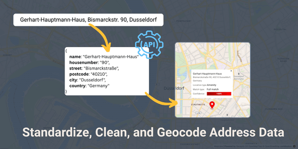
Address standardization example: converting 'Gerhart-Hauptmann-Haus, Bismarckstr. 90, Düsseldorf' into a standardized address on a map.

Address Standardization Guide: What It Is, Methods & Geoapify Solutions

What is Address standardization, why it matters, and how to standardize address data. Learn methods, tools, and Geoapify API solutions....
Read More
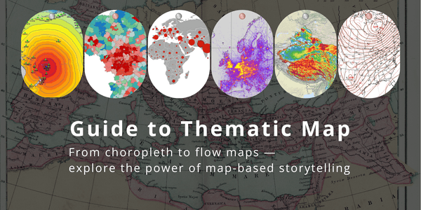
Examples of thematic maps: Choropleth, dot density, graduated symbol, and flow maps illustrate how data can be visualized geographically.

Thematic Maps Guide: Definition, Different Types, Use Cases and Examples

Thematic maps: definition, different types, examples and use cases. Discover everything you need to know about thematic maps in our guide....
Read More
Vector vs. Raster: Two Distinct Approaches to Geospatial Data Representation

Different Types of Geospatial Data and Their Use Cases

Learn more about geospatial data types, discover purposes of each data type, see examples and different use cases in our guide...
Read More
Choosing the Right Path: Google Places API vs. Geoapify Places API – A Comparison of Costs, Features, and Flexibility

Geoapify as an Alternative to Google Places API

Looking for a Google Places API alternative? Geoapify provides cost-effective location intelligence services with reliable POI data...
Read More
Isoline Map of Stockholm using Geoapify´s Isoline API
Geospatial

What is an Isoline Map?

Learn everything you need to know about isoline maps in our guide. See examples, use cases and discover Geoapify’s solutions to build isoline maps...
Read More