Blog

An AI-generated image of a modern robot at a desk, typing real estate descriptions on a laptop, showcasing AI's role in real estate marketing
Solutions

Guide to Using Chat GPT for Real Estate Descriptions Automation

Automate your property descriptions using Chat GPT and Places API with our detailed guide. Learn the essentials to boost your listings and attract more buyers efficiently...
Read More
This image showcases a modern eco-friendly house amidst a serene natural landscape with wind turbines in the proximity. The close presence of the turbines could imply a potential issue with noise, posing a challenge for residents seeking both green living and a peaceful environment
Geospatial

How Real Estate Agents Can Assess Noise Pollution to Help Their Customers

Discover how geospatial analysis identifies noise sources and impacts on property values with demonstrative examples...
Read More
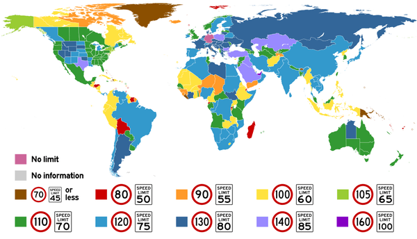
Highest posted speed limits around the world. The <a href="https://commons.wikimedia.org/wiki/File:World_Speed_Limits.svg" rel="nofollow" target="_blank">original image</a> is licensed under <a rel="nofollow" target="_blank" href="https://creativecommons.org/licenses/by-sa/4.0/">CC BY-SA 4.0</a>.
Maps API

Country Speed Limits: Tailoring Global Delivery Routes

Explore global speed limits and adapt your vehicle routes to global speed regulations with our Route Optimization APIs...
Read More
The AI-generated image shows a US-style curbside letterboxes
SolutionsGeospatial

Address Formats by Country: JSON Templates to Download

Discover country-specific address formats. Get a JSON with international address templates to enhance your app's data handling and UI design...
Read More
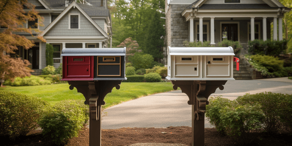
The AI-created picture shows mailboxes in various colors
SolutionsGeospatial

What are the correct postcode formats around the world?

Explore global postcode formats in our guide. Learn about different zip code layouts for efficient mail delivery, ideal for logistics and other businesses...
Read More
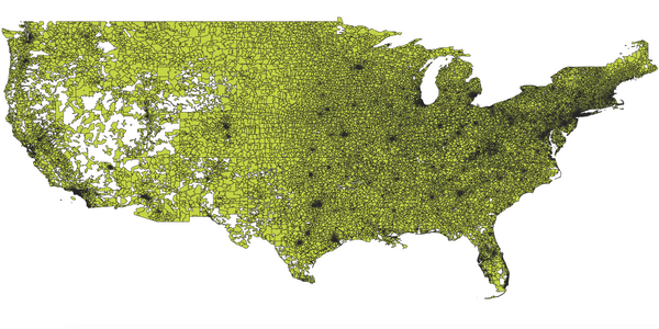
Visual representation of ZIP codes boundaries on a map
SolutionsOpenStreetMap

US ZIP Codes: Explore and Download for Free

Read our US ZIP code guide. Explore, understand, and freely download. Leveraging Census data and open data principles for comprehensive geolocation insights...
Read More